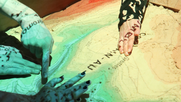
In early October, it was with their hands in the sand that Bac 2 and Bac 3 students from UNamur's Geography Department were able to gain a very concrete understanding of the flooding mechanism. "This activity was organized in partnership with the asbl Contrat de Rivière Ourthe," explains Sébastien Dujardin, teacher-researcher in the Geography Department. "Our students had the opportunity to use a 3D augmented reality sandbox, developed as part of the EXACT LAB project (Exploration 3D et Adaptation aux Conséquences des Changements Climatiques sur un Territoire)", he details.
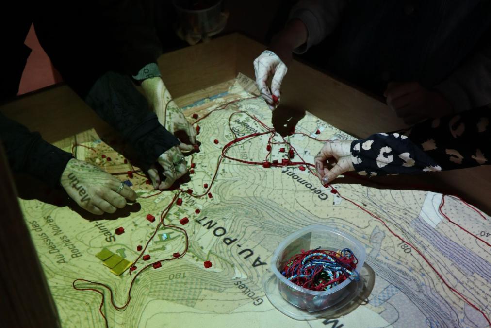
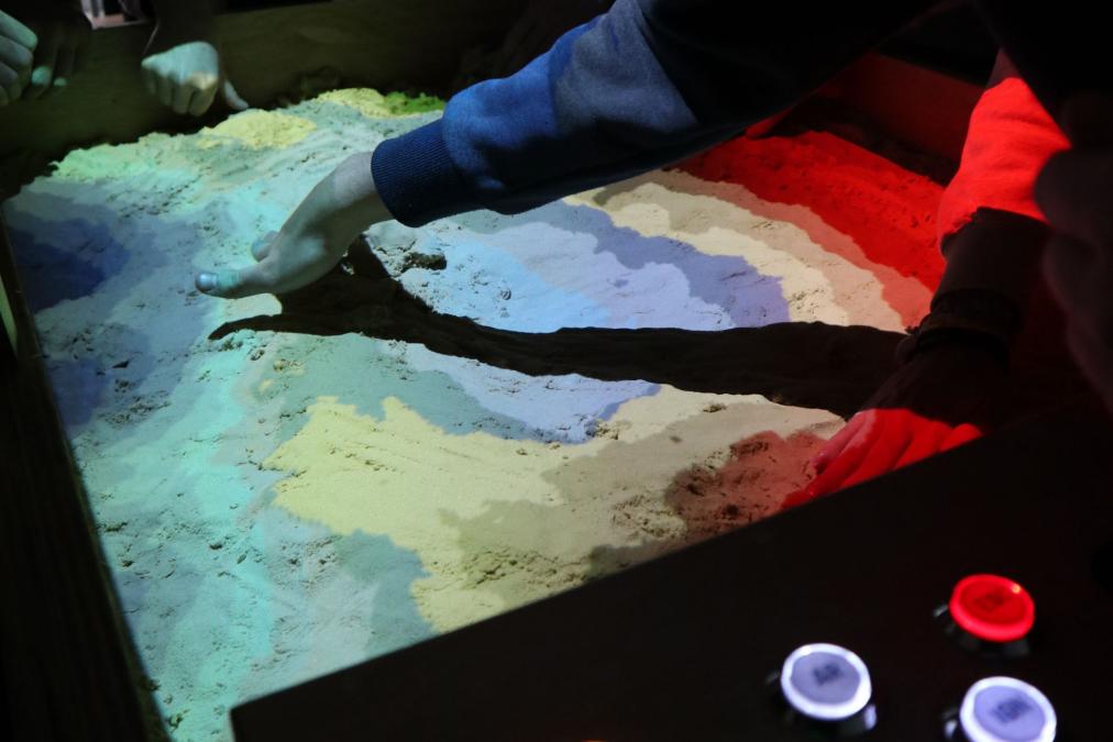
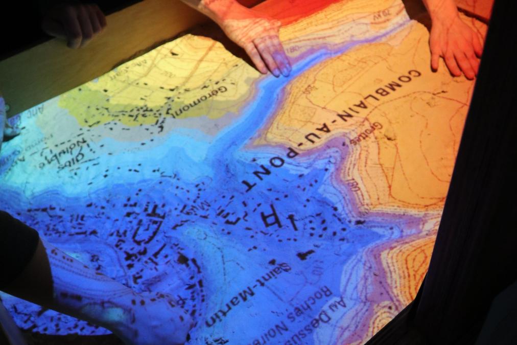
During this activity, students modeled the relief by hand and simulated virtual rainfall to observe runoff on the ground, thanks to 3D Kinect technology. Various layers of geographic information, such as topographic maps, aerial photos and runoff maps, were then projected onto the relief to further the reflection.
Students were able to explore how rivers work, concepts related to flooding (return period, amount of precipitation, hydrometry, etc.), and analyze the territorial issues most at risk (schools, homes, roads). They also discussed and tested various planning measures, such as hedge planting, the creation of stormwater basins and ditches, taking into account natural and human constraints.
"This activity was an excellent opportunity for our students to develop their risk culture, essential in the face of the growing challenges of drought and flooding," Sébastien Dujardin points out again. "The topic of flooding is more topical than ever and represents a major societal challenge. It perfectly illustrates our educational approach: observe, understand and act to better harmonize human activities with an ever-changing environment," he concludes.